







Canopy
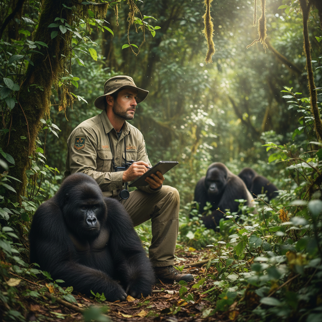
Field researcher in the forest
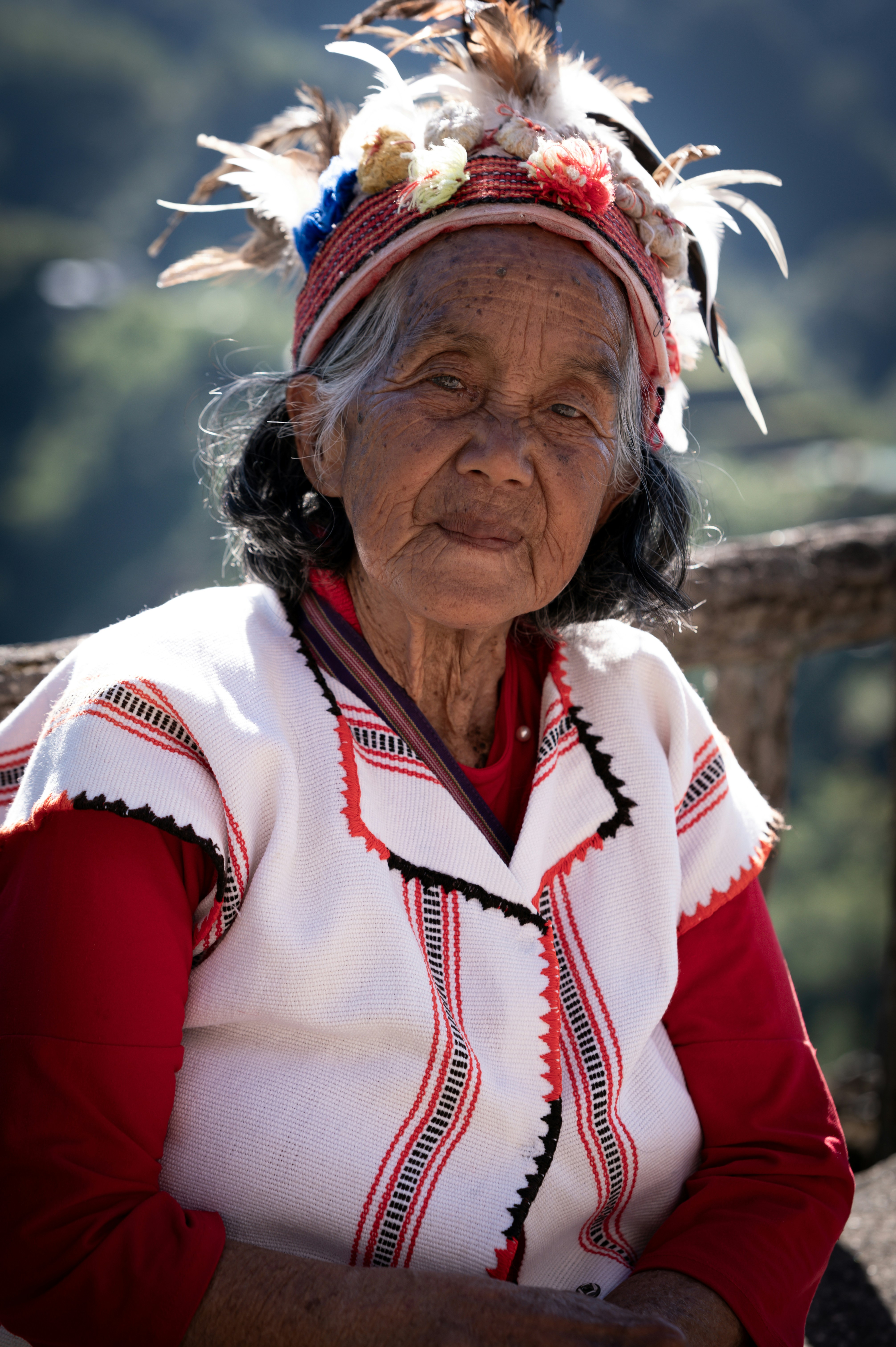
Indigenous elder looking into distance
Community ranger on patrol
Legal advocate reviewing maps
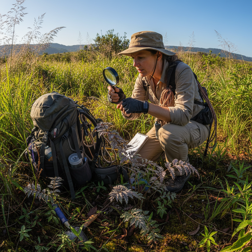
Biologist documenting species
Young community member
Scientist at field station
Community leader speaking
Researcher with data tablet
Field scientist at work
Indigenous guide in rainforest
Community patrol member
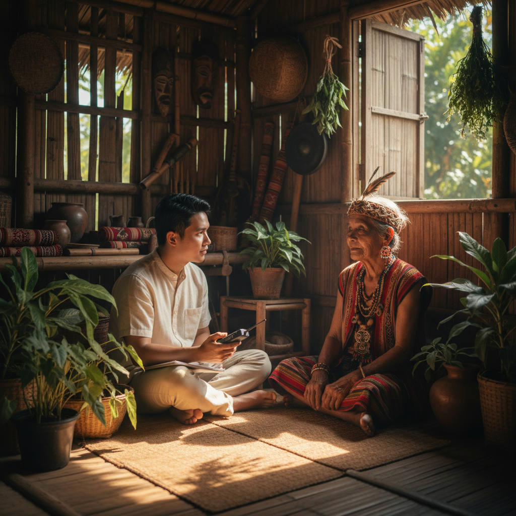
Elder with traditional knowledge
Young researcher in field
Legal advocate in meeting
Scientist reviewing satellite data
Field researcher in the forest
Indigenous elder looking into distance
Community ranger on patrol
Legal advocate reviewing maps
Biologist documenting species
Young community member
Scientist at field station
Community leader speaking
Researcher with data tablet
Field scientist at work
Indigenous guide in rainforest
Community patrol member
Elder with traditional knowledge
Young researcher in field
Legal advocate in meeting
Scientist reviewing satellite data
Field researcher in the forest
Indigenous elder looking into distance
Community ranger on patrol
Legal advocate reviewing maps
Biologist documenting species
Young community member
Scientist at field station
Community leader speaking
Researcher with data tablet
Field scientist at work
Indigenous guide in rainforest
Community patrol member
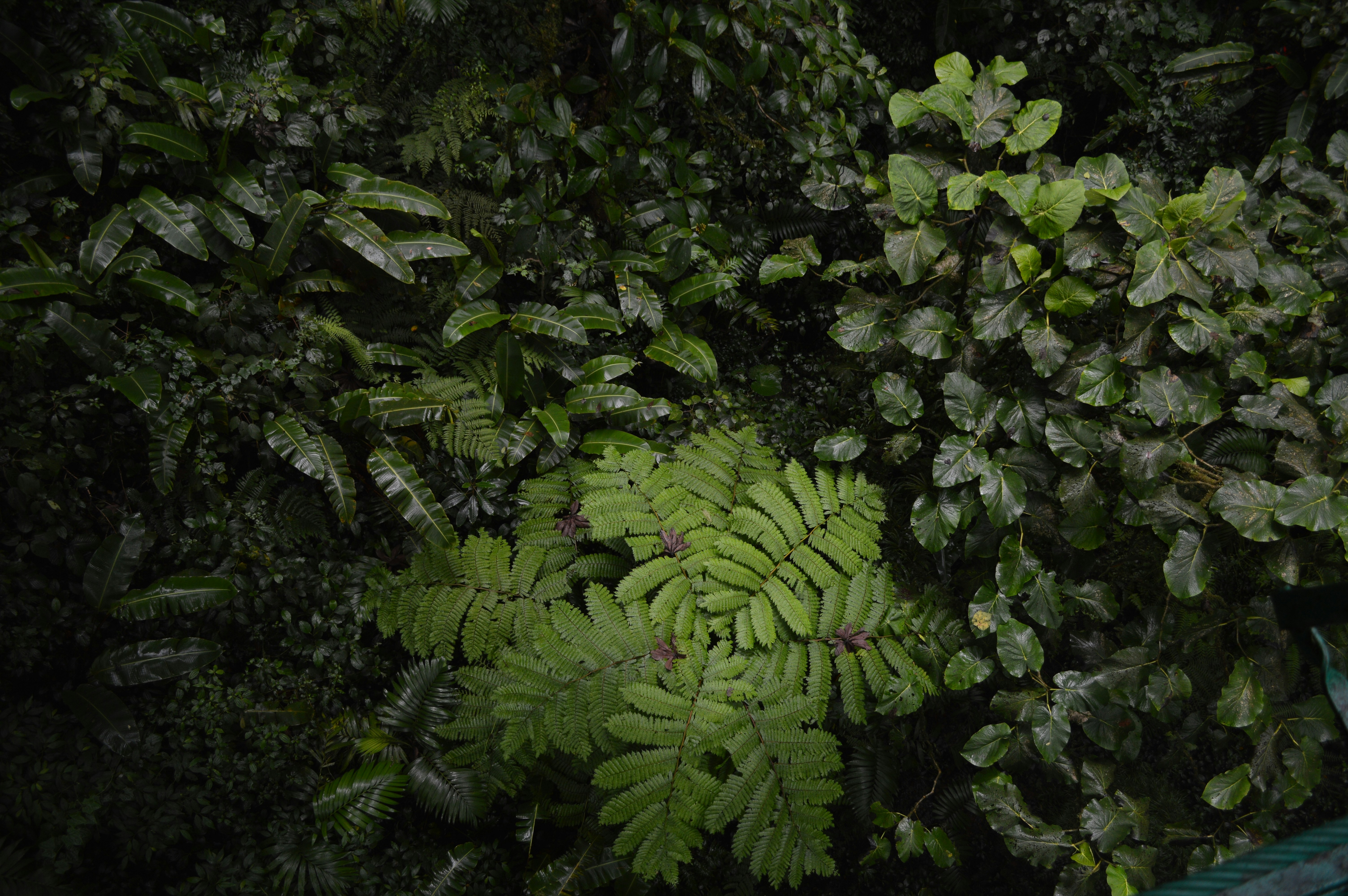
Lush ancient rainforest canopy seen from above, dense green with morning mist
The Ordinary World

"The Amazon alone generates half its own rainfall — a living machine that has run without interruption for 55 million years."

— Dr. Maria Fernanda Oliveira, Atmospheric Sciences, INPA

3.1M
Species documented
in the Amazon basin
2.6B
Tonnes of CO₂
stored in tropical canopy
1,200+
Indigenous nations
whose identity is the forest
80%
Of terrestrial life
lives in tropical forests
Act I — The World Before

A living archive that predates human memory.

The tropical rainforests of the Amazon, Congo, and Southeast Asia are not simply forests. They are planetary infrastructure — regulating temperature, cycling water, and harboring more genetic diversity than any other biome on Earth.

For 40,000 years, indigenous peoples have been its stewards. Their territories account for 80% of the world's remaining biodiversity, despite comprising less than 22% of land area.
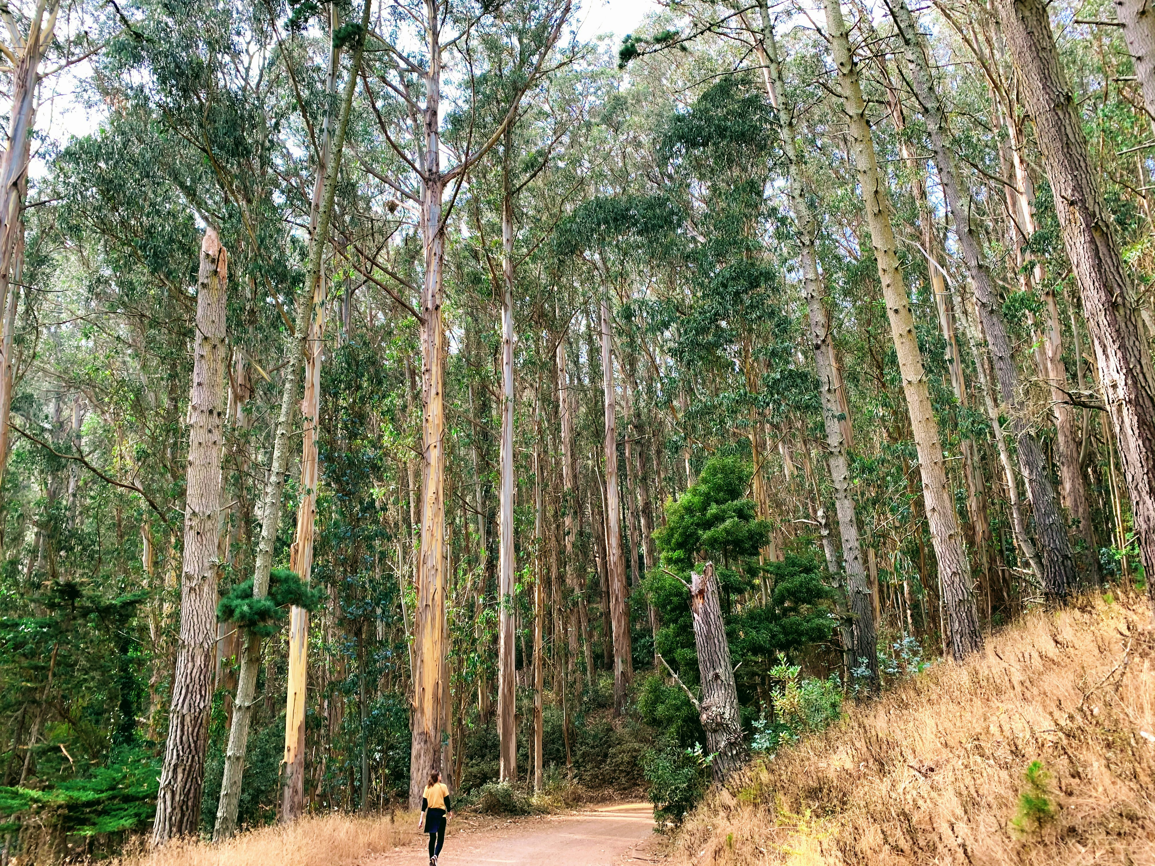
Indigenous elder walking through dense forest undergrowth on traditional trail

Kayapó territory, Pará, Brazil · 2024

Act II — The Call to Adventure

Twelve months.
One million acres gone.

Canopy's satellite monitoring team processes 4.2 terabytes of spectral imagery every 72 hours. What you're seeing below is not a simulation — it is a composite of actual MODIS and Sentinel-2 data from 2024.

Canopy Cover — Pará, BrazilMonth 1/12
Intact canopy
Cleared / degraded
Jan
Feb
Mar
Apr
May
Jun
Jul
Aug
Sep
Oct
Nov
Dec

Annual forest loss by region (km²)

Pará, Brazil 847 km²
2023: 612 km²
Madre de Dios, Peru 234 km²
2023: 189 km²
Riau, Indonesia 1103 km²
2023: 934 km²
Équateur, DRC 456 km²
2023: 378 km²
Act III — The Trials

Field Dispatches

Unedited accounts from the ground. Written by the people who were there, filed within 24 hours of the event.
The GPS alert came through at 02:47. Two D9 Caterpillars had crossed the injunction boundary by 800 metres, running with lights off. Our patrol team — seven people, three languages — reached the site in forty minutes. The injunction papers were in a waterproof sleeve. The operator knew exactly what he was doing. We documented everything on the satellite-linked camera and filed within the hour.

The injunction papers were in a waterproof sleeve.
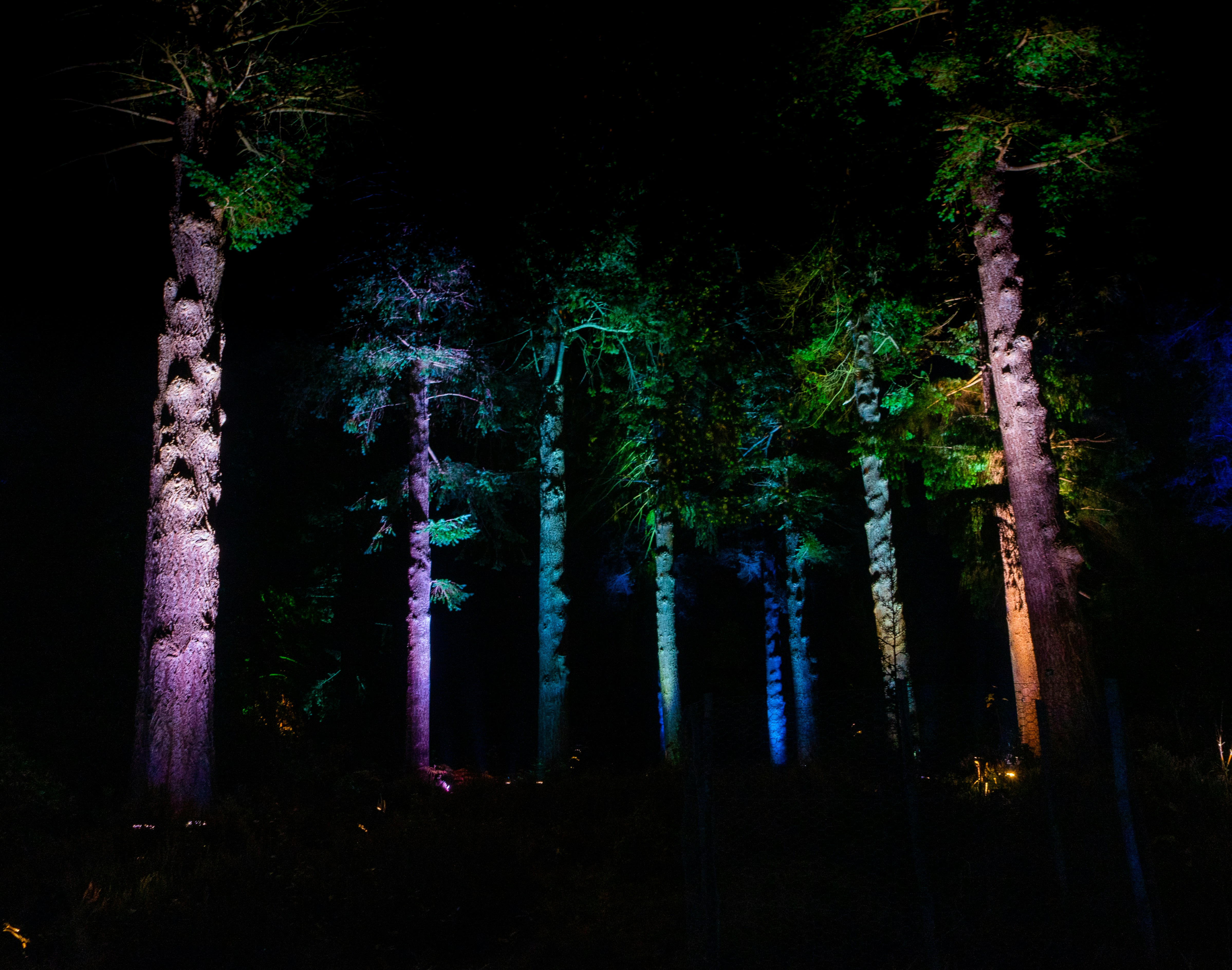
Dense rainforest at night with patrol team flashlights visible between trees

Xingu River Basin, Pará

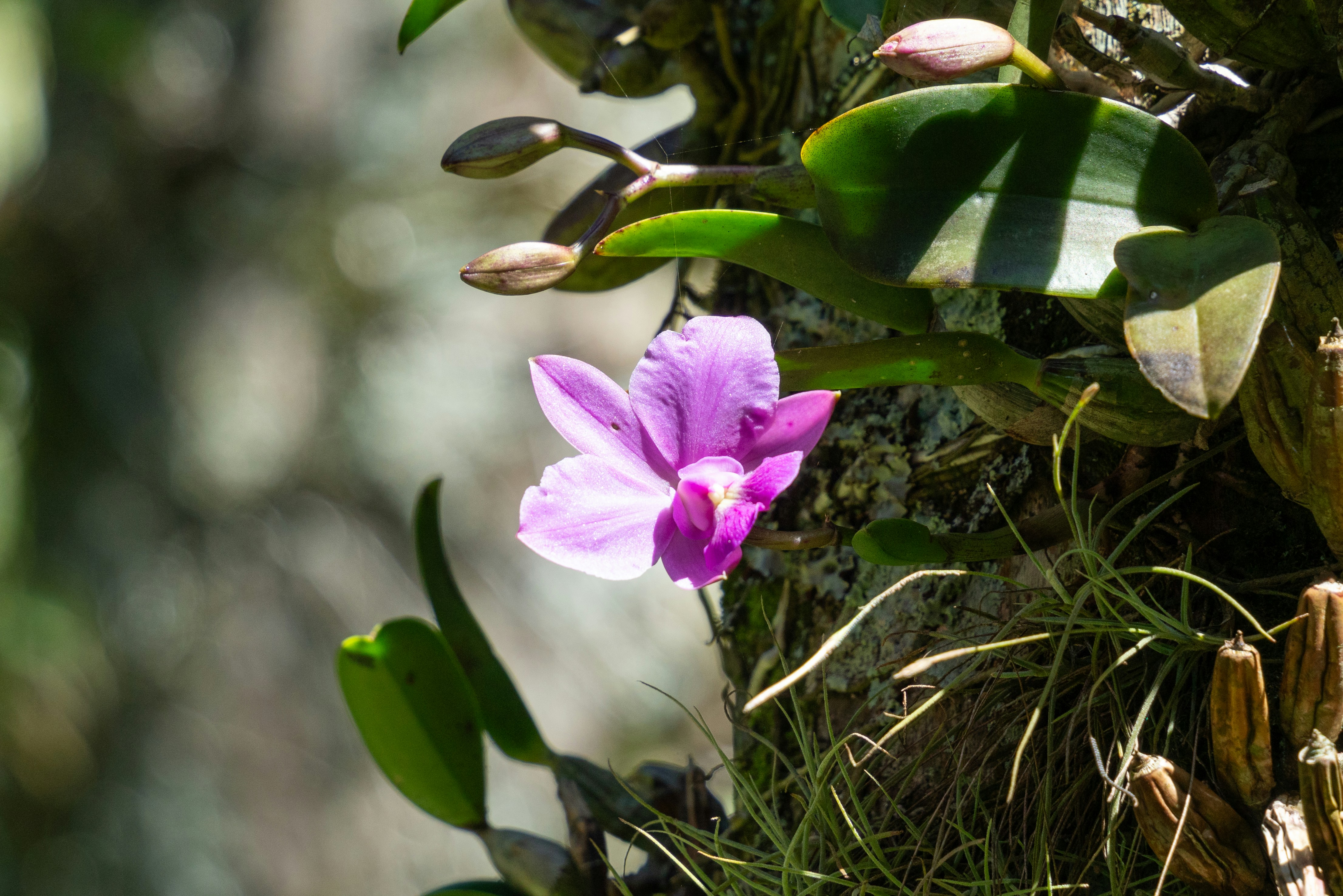
The watershed had been under concession application for eighteen months. Our legal team filed a biodiversity assessment request — standard procedure — and we had six weeks to do the inventory. What we found in the upper canopy changed the calculus entirely: three undescribed Dracula species, a population of Andean cock-of-the-rock nesting below the mist line, and evidence of jaguar movement at 2,200 metres. The concession was withdrawn.

What we found in the upper canopy changed the calculus entirely.
Rare orchid blooming on mossy tree branch in misty cloud forest

Madre de Dios, Peru

The logging company had submitted a concession boundary that erased forty-two villages from the official record. Not metaphorically — the map submitted to the ministry simply did not show them. We trained seventeen community members in GPS boundary-walking over three weeks. The resulting dataset, 847 waypoints, was submitted as legal evidence in March. The Ministry of Environment ordered a full concession review.

The map submitted to the ministry simply did not show them.
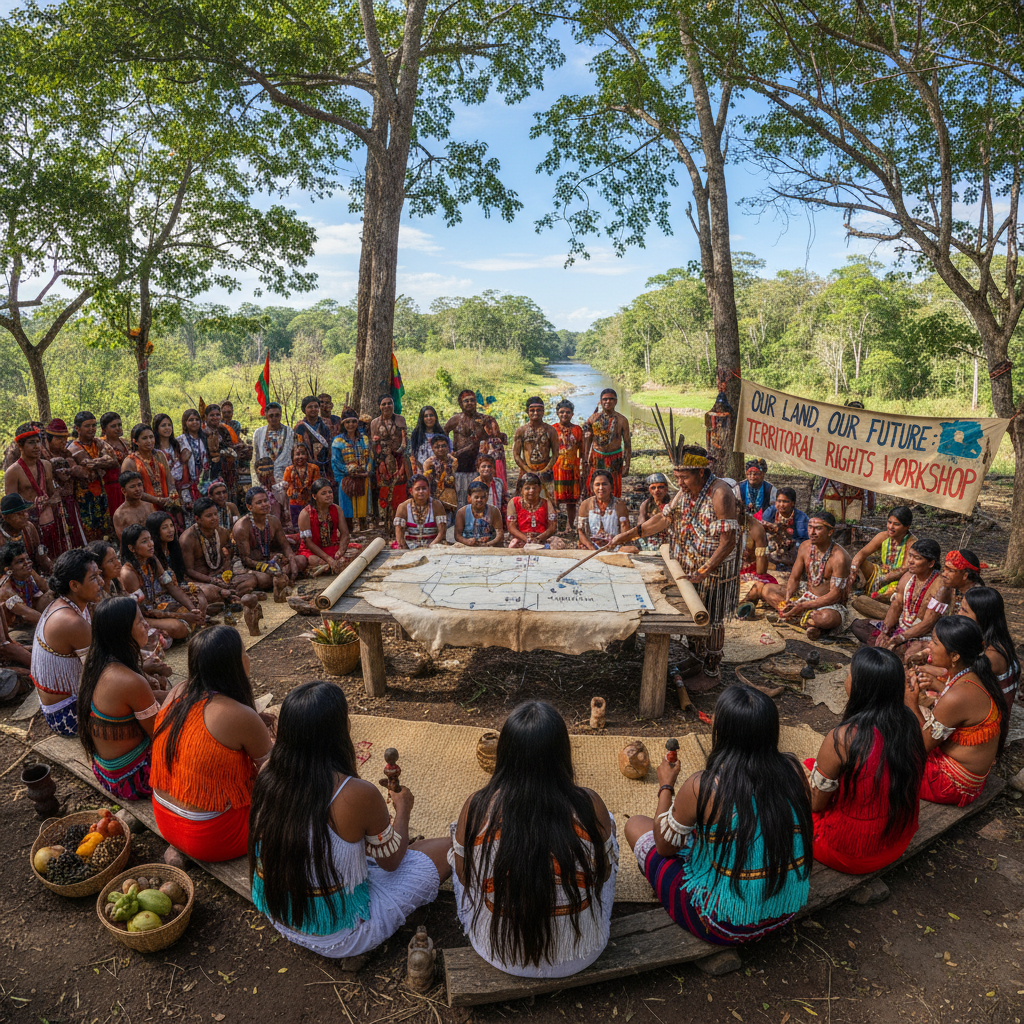
Community members gathered around a large hand-drawn map on a wooden table

Équateur Province, DRC

847 GPS waypoints filed · 3 new species documented · 12 injunctions upheld in 2024 · 2.1M hectares under community patrol · 847 GPS waypoints filed · 3 new species documented · 12 injunctions upheld in 2024 · 2.1M hectares under community patrol · 847 GPS waypoints filed · 3 new species documented · 12 injunctions upheld in 2024 · 2.1M hectares under community patrol · 847 GPS waypoints filed · 3 new species documented · 12 injunctions upheld in 2024 · 2.1M hectares under community patrol ·
Act IV — The Transformation

When communities hold the line,
the forest holds.

These are not hopeful projections. These are before-and-after aerial pairs from territories where the work is already done.
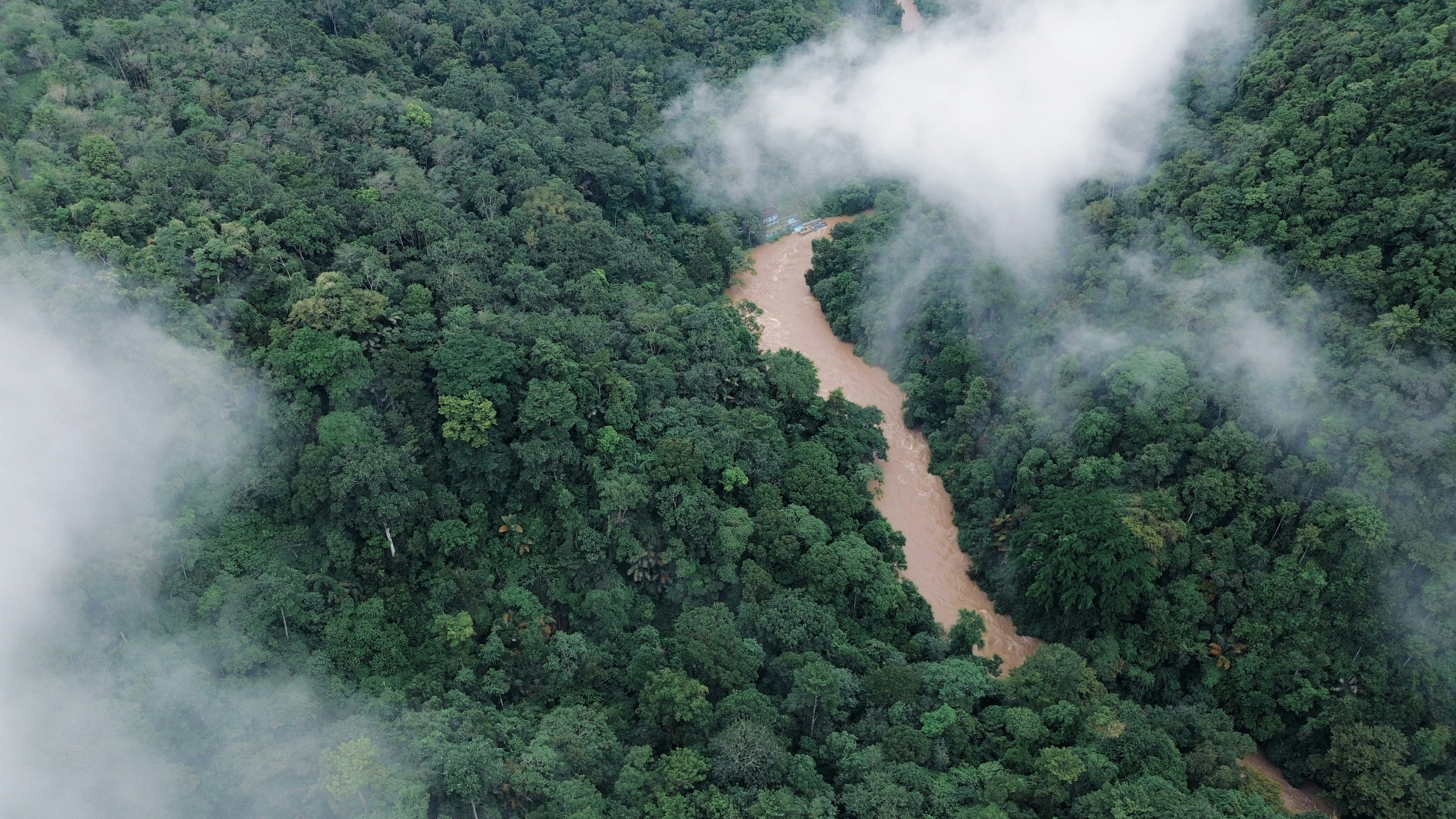
Aerial view of threatened rainforest river basin before protection campaign
Before2019 — Under threat
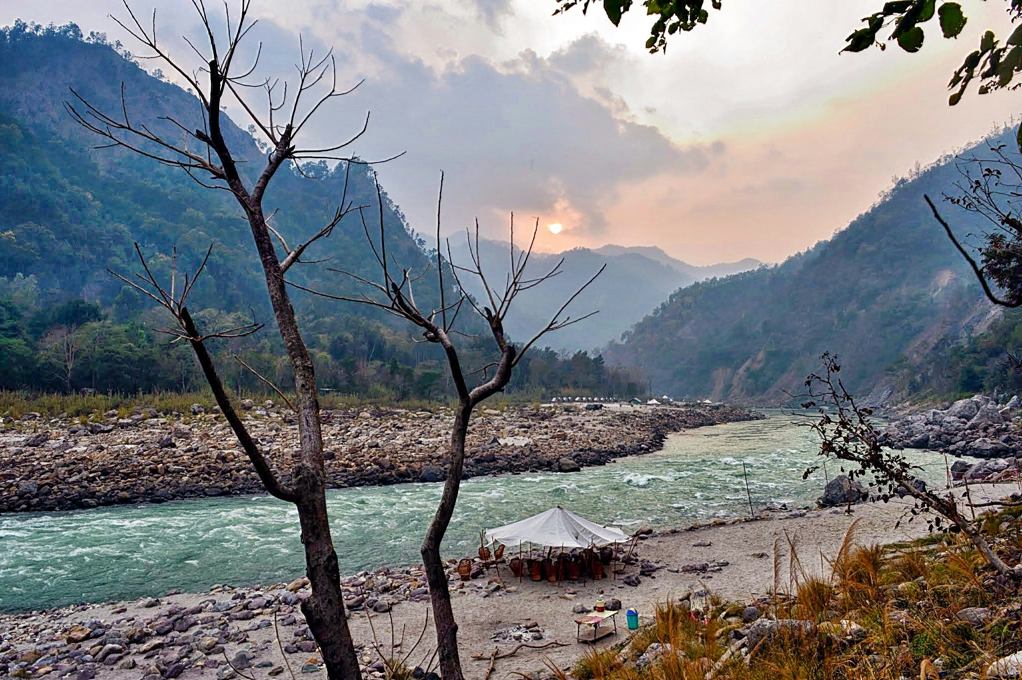
Same river basin now protected with intact rainforest canopy
After2024 — License withdrawn
Munduruku NationTapajós Basin, Brazil · 2019–2024

The dam that never came.

For five years, the Munduruku people faced a proposed hydroelectric complex that would have flooded 800km² of ancestral territory. Canopy's legal team filed seventeen separate administrative challenges, supported by a satellite-mapped sacred site inventory. In June 2024, the federal licensing authority withdrew the environmental license permanently.

800km²Preserved
Aerial view of palm oil plantation encroaching on indigenous forest land
Before2021 — Illegal encroachment
Restored forest edge with community patrol markers visible
After2024 — Land returned
Talang Mamak CommunityRiau Province, Indonesia · 2021–2024

Paper mills can't outrun a GPS track.

The Talang Mamak had been disputing a palm oil concession boundary for eleven years. Our community mapping program trained 23 local members over eight weeks. Their GPS data, cross-referenced with Sentinel-2 imagery, revealed that the concession had been cleared 4.7km beyond its legal boundary. The company was fined $4.2M and the excess land returned to community management.

4.7kmBoundary restored
12
Injunctions upheld
in 2024
2.1M
Hectares patrolled
by trained communities
23
Active legal cases
across 9 countries
340+
Community members
trained in GPS mapping
The Elixir — Field Library

Open the Field Library.

Everything we know is here. Research papers, lesson plans, satellite datasets, and legal toolkits — free, open-access, and ready to use. You've read the dispatches. Now carry the tools.

DatasetFeatured

Amazon Canopy Loss 2020–2024: MODIS/Sentinel-2 Composite Dataset

Full spectral composite with 10m resolution, covering 5.4M km² across nine Amazon states. Includes time-series GeoTIFFs and change detection layers.

MODISSentinel-2Amazon
Feb 202514.2 GB
Legal ToolkitFeatured

Biodiversity Offset Verification Framework: A Corporate Practitioner's Guide

Methodology for sustainability officers to verify offset claims against satellite ground-truth. Includes audit checklist, red-flag indicators, and case studies from 12 failed offsets.

CorporateOffsetsVerification
Jan 2025
Lesson PlanFeatured

Climate Unit: Rainforest as Planetary Infrastructure (Grades 9–12)

Six-week curriculum module with lesson plans, primary source excerpts, satellite imagery exercises, and student investigation projects. Aligned to Next Generation Science Standards.

NGSSGrades 9-12Climate
Sep 2024
Field Protocol

Community GPS Mapping Protocol for Forest Boundary Documentation

Step-by-step field protocol for non-technical community members. Available in English, Spanish, Portuguese, and Bahasa Indonesia.

CommunityGPSMultilingual
Dec 2024
Research Paper

Intact Forest Landscapes 2024: Global Hotspots Under Immediate Threat

Peer-reviewed analysis of 47 intact forest landscapes with active extraction pressure. Published in Nature Sustainability, January 2025.

Nature SustainabilityPeer-reviewedGlobal
Jan 2025
Legal Toolkit

Injunction Filing Toolkit: Urgent Environmental Protection Under National Law

Template library for filing emergency environmental injunctions in Brazil, Peru, Indonesia, and DRC. Includes precedent case summaries and filing checklists.

InjunctionsBrazilPeru
Nov 2024
Lesson Plan

Middle School Climate Unit: The Forest That Makes Its Own Rain

Three-week inquiry unit on hydrological cycles in tropical forests. Includes hands-on evapotranspiration experiments, mapping activities, and a mock COP negotiation.

Grades 6-8HydrologyExperiments
Aug 2024
Research Paper

Carbon Flux in Degraded vs. Intact Amazonian Forest: 10-Year Study

Longitudinal field data comparing carbon sequestration rates across intact, selectively logged, and regenerating forest plots in Mato Grosso.

CarbonDegradationLongitudinal
Dec 2024

Need something not in the library?

Our data team responds to researcher and educator requests within 48 hours. If we have it, we'll share it.

Contact the Data Team